Our waiver and registration process does not work with the Facebook IOS integrated web browser. To open this page in a "real" (native) browser:
-
Click the ellipses (three dots) in the lower right corner of this window. You may need to scroll the page up slightly to encourage the ellipses to appear at the bottom of the screen.

-
Click "Open in Browser" in the popup menu.

-
Continue with the waiver and registration process.
Registration opens Thursday, June 22 at 12:01 AM (Pacific Time).
To register online: sign in to your SIR member account. Don't have one? Create one. It's free!
Once you login the Register button will be visible on the right side of this page (or bottom for mobile browsers).
Registration has closed for this event. We cannot accommodate same-day registration at this time.
The online registration includes signing a responsibility waiver using the same SmartWaiver system used for RUSA Permanents.
YOU MUST SUBMIT A COMPLETED WAIVER IN ORDER TO START THE RIDE
RUSA Route #2950 "Baker Lake 400K"
Summer ACP Centenary 400K Baker Lake Pre-Ride Notes
(Adapted from the
2022 Spring 400 pre-ride report)
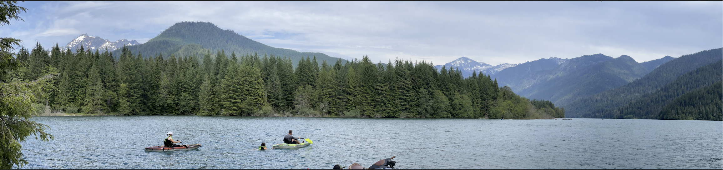 Photo: Baker Lake Panorama Point Campground
SIR's ACP Centenary 400k starts and ends at the Redmond Inn, in Redmond, WA. Due to local road construction, you’ll briefly head south on the East Lake Sammamish Trail, then the route gets you on your way
northbound to destinations with challenge, fun, and adventure. Although this route takes you to many remote areas, services are well distributed for self-supported planning of supplies of food and water.
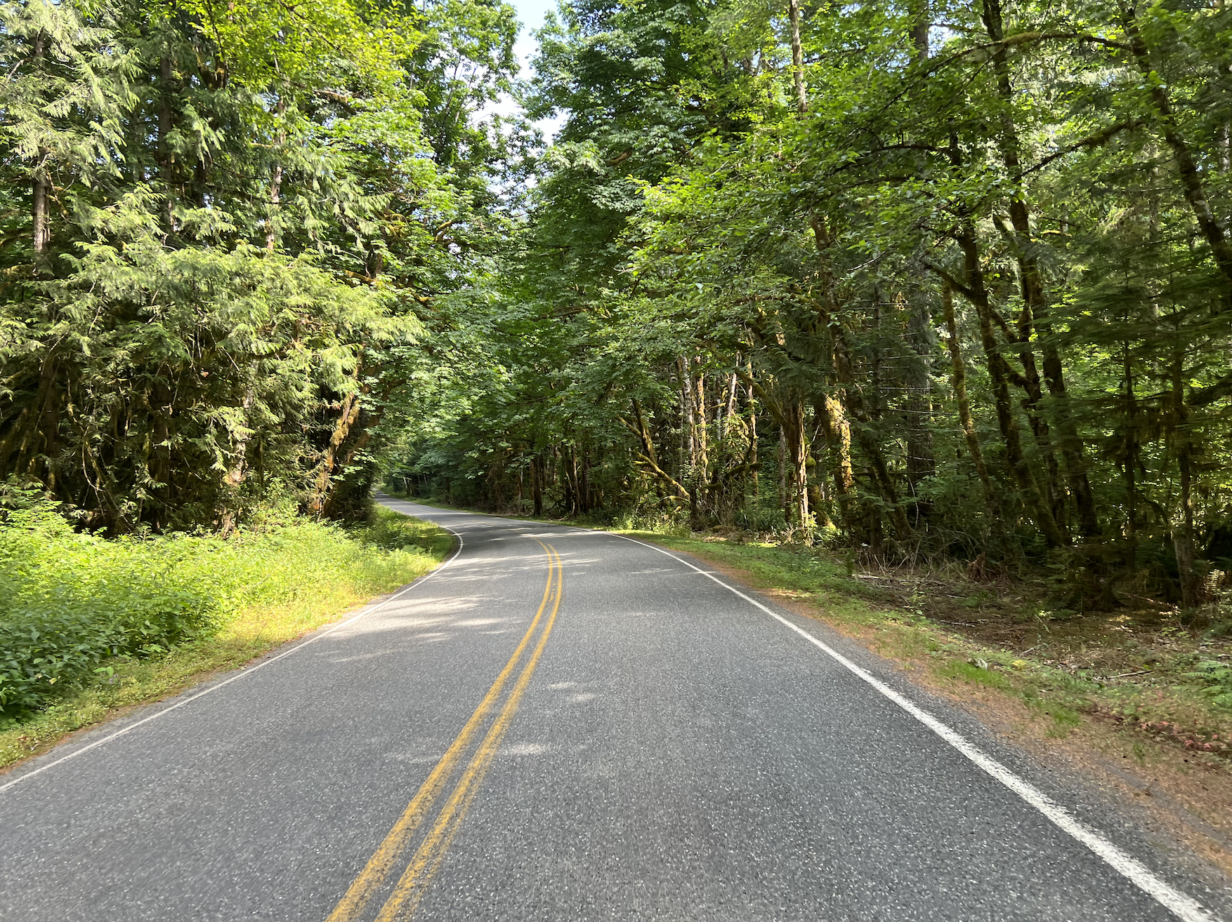
You will travel familiar yet enjoyable low traffic roads north up to Lake Roesiger. The sections of flats and rolling hills will get you and your legs warmed up. Pre-riders did not take a restroom break at Lewis Street Park (29.6 km) just after crossing the Skykomish River bridge into Monroe but it is rumored to be open. Mind the bad tracks south of US2. You should make good time and arrive at the first information control at the Lake Roesiger Store (51.8 km). The store will likely be closed when you roll through as it opens at 8 AM. We don't want you to linger here long since you need to keep moving to hopefully see Mt. Shuksan in late afternoon light from the shores of Baker Lake.
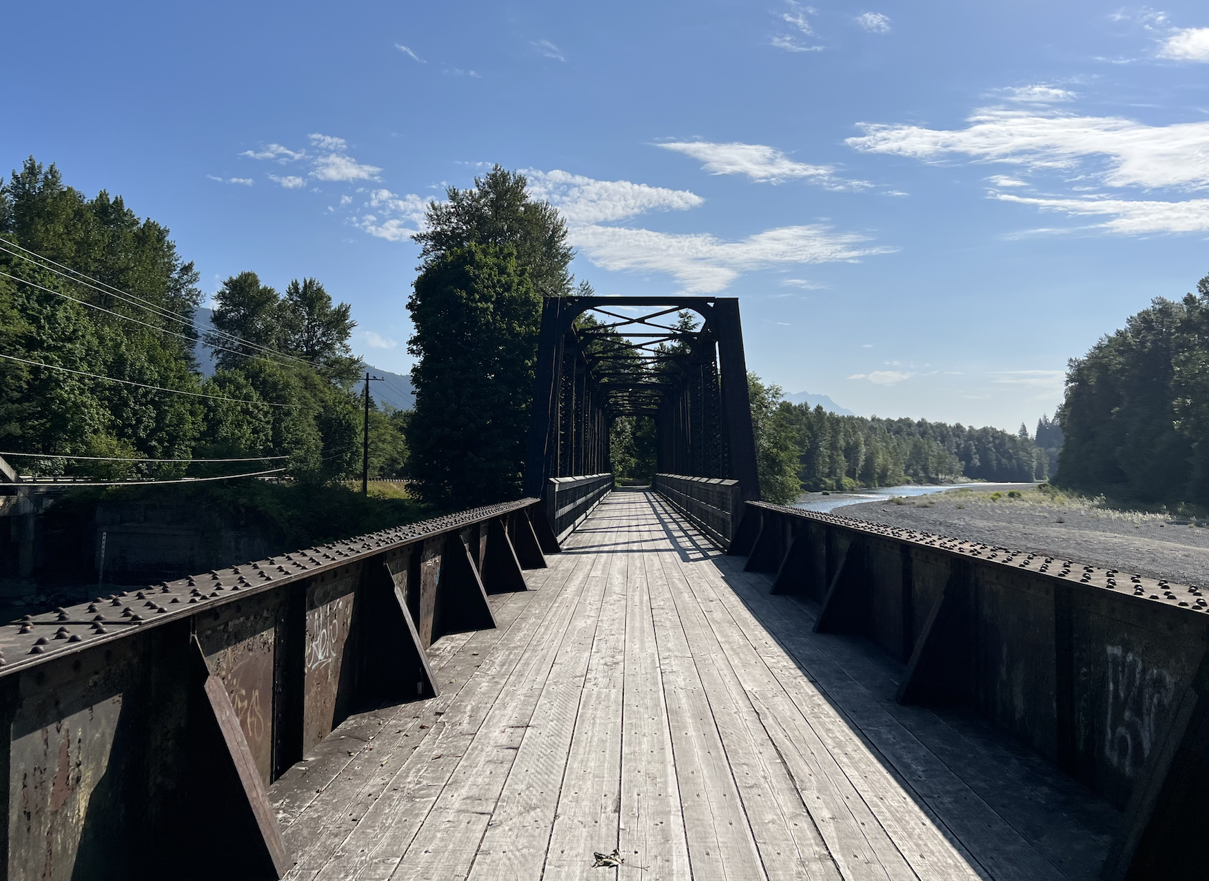
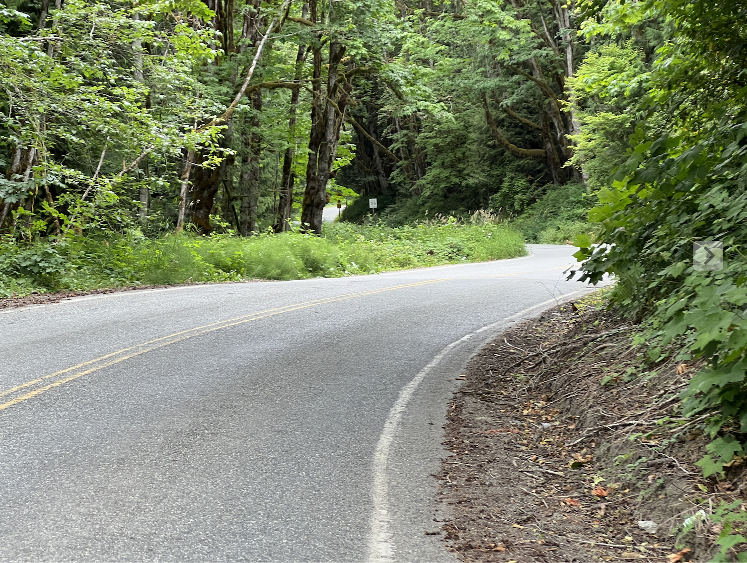
You’ll be treated to quiet rolling roads through rural communities, particularly nice along Robe Menzel Road into Granite Falls at 64.4 km. Various food and services can be found in Granite Falls, but no official stop is needed. You will eventually turn right onto Hwy 530 to point yourself to Darrington. Expect a decent road shoulder for much of the road but passing vehicles are moving at speed ~60 mph. Mind the rumble strips along the fog line and the random stones on the shoulder. At 96.5 km, turn right onto a 2-mile paved segment of the Whitehorse Trail and enjoy the views in peace and quiet away from road noise. It was becoming overgrown with blackberry vines of the flat inducing thorn type but passable single file.
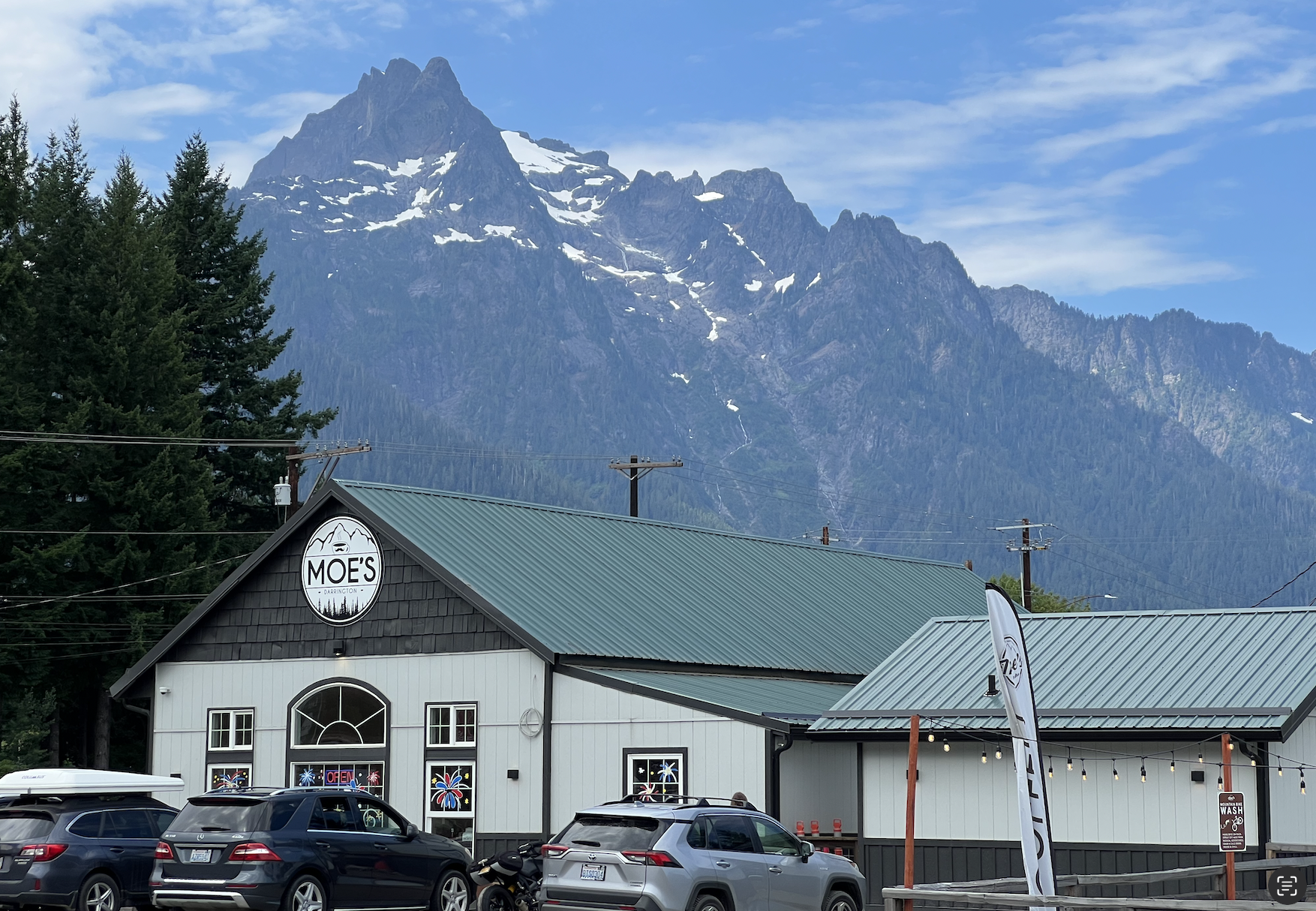
Enter Darrington and find the information control at the Moe's Coffee on the left side of road (129.4 km). The pre-riders took the opportunity for a convenient brunch snack at the Shell across the street from the information control due to some rando habits. We hear Moe's has great breakfast, lunch, and snack options and a bathroom. Leave Darrington with full water bottles and food.
Now the adventure begins as you head to Marblemount. While the pre-ride started cool with summer dew, we got treated to unsurprisingly warm conditions by this point. You’ll feel the remoteness on Rockport Cascade Road but press on and enjoy the serenity. Fingers crossed you get blue skies and amazing snowcapped mountain views.
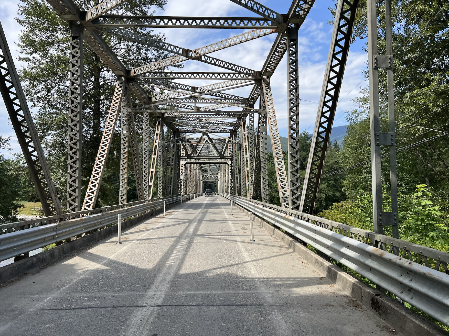
As you enter Marblemount, find the information control at Rustic Heart Desires on the left side of the road (174.3 km). Pre-riders then stopped briefly at the Chevron gas station for water and restroom. With the anticipation (specter?) of Burpee Hill ahead, we got rolling to make some time down to Concrete. With the Highway 20 passes open, traffic should be heavy. Many drivers will be heading to/from the mountains in their RVs and/or with boats in tow. Please exercise caution on Highway 20 as there are numerous spots where road debris is plentiful, including branches, trash bags and other construction wood.
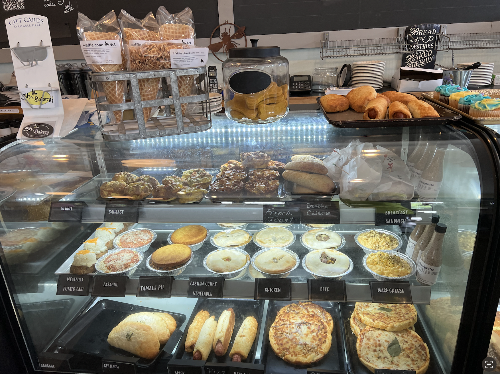
If you can get to Concrete (201.6 km) before 4 PM – you could sneak into 5B’s Bakery and Eatery before they close. If not – there will be a staffed control at Baker Lake (224.1 km). If you need water and a bathroom before climbing *that hill*, they can be found at the Silo Spray Park just south of the intersection of Main St. and N. Superior Ave.
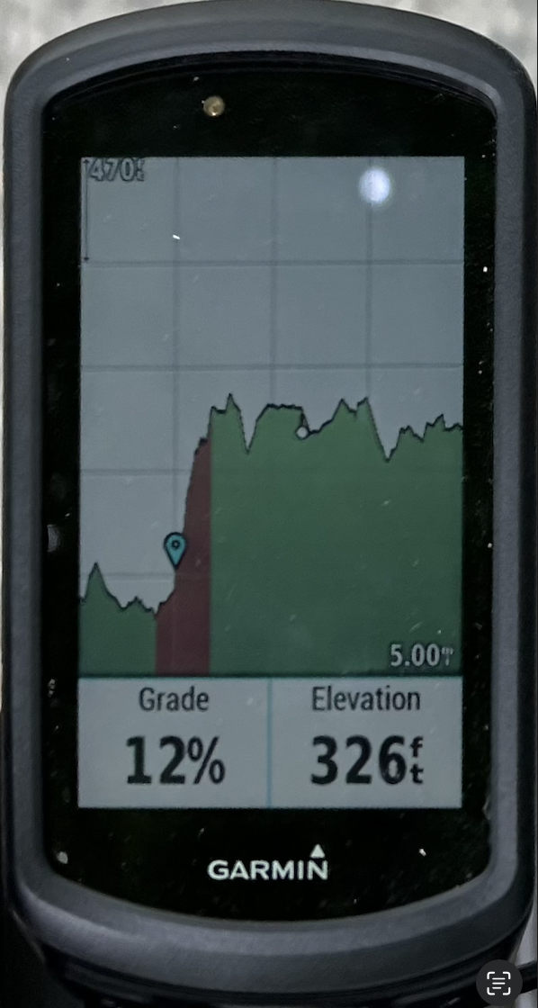
Burpee Hill Road... what’s there to say... it’s a legendary climb in the region. The pre-riders all shifted to their climbing gears and did whatever they had to do to slowly (very slowly) get our bodies and machines over this wall of a hill. We regrouped at the top and celebrated, but you are still far from the control so mentally stay in the game and press-on.
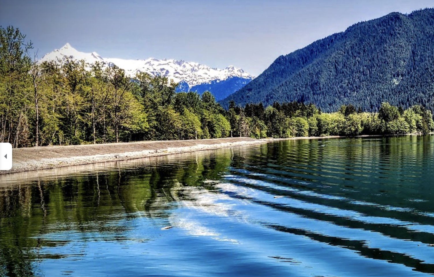
Given the route name, we thought it fitting to try and actually see Baker Lake, twice, so we made a change to the traditional route and put a staffed Control at the Puget Sound Energy Baker Lake Boat Launch and an information control farther north at Panorama Point Campground. This part of the route will be new to any veterans of past brevets to Baker Lake. At 221 km, turn right onto NF-1112 and follow the route cues and road signs to the PSE Boat Launch. Signage was good, road options are few, so you should not get lost. The control will be at the pavilion adjacent to the boat launch, you can’t miss it. Clean but primitive restrooms are available. Water, food, shelter, and views will be available. If we have clear skies, you’ll have a front row view of Mt. Shuksan and Mt. Baker while you take a break. The control opens at 11:38 AM and closes at 7:56 PM.
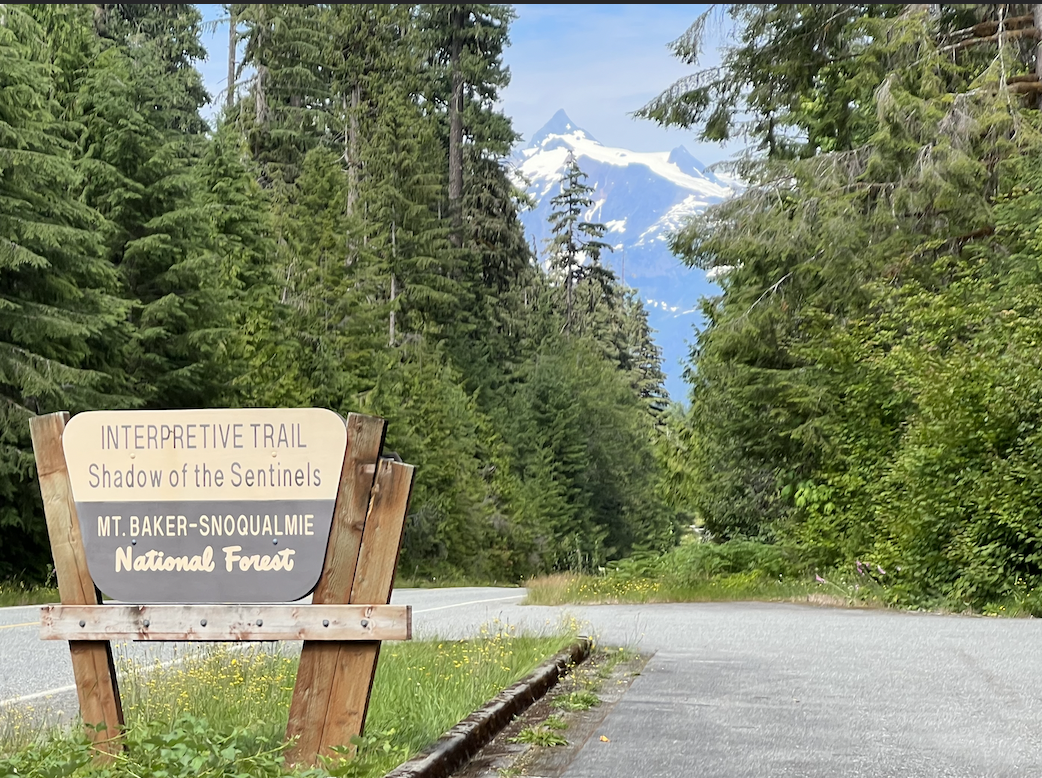
Leaving the control, you will make a u-turn back the way you came and turn right onto Baker Lake Road to go to the Info Control farther north on Baker Lake. When you get to the Shadow of the Sentinels, take a moment to look forward at Mt. Shuksan if the sky is clear.
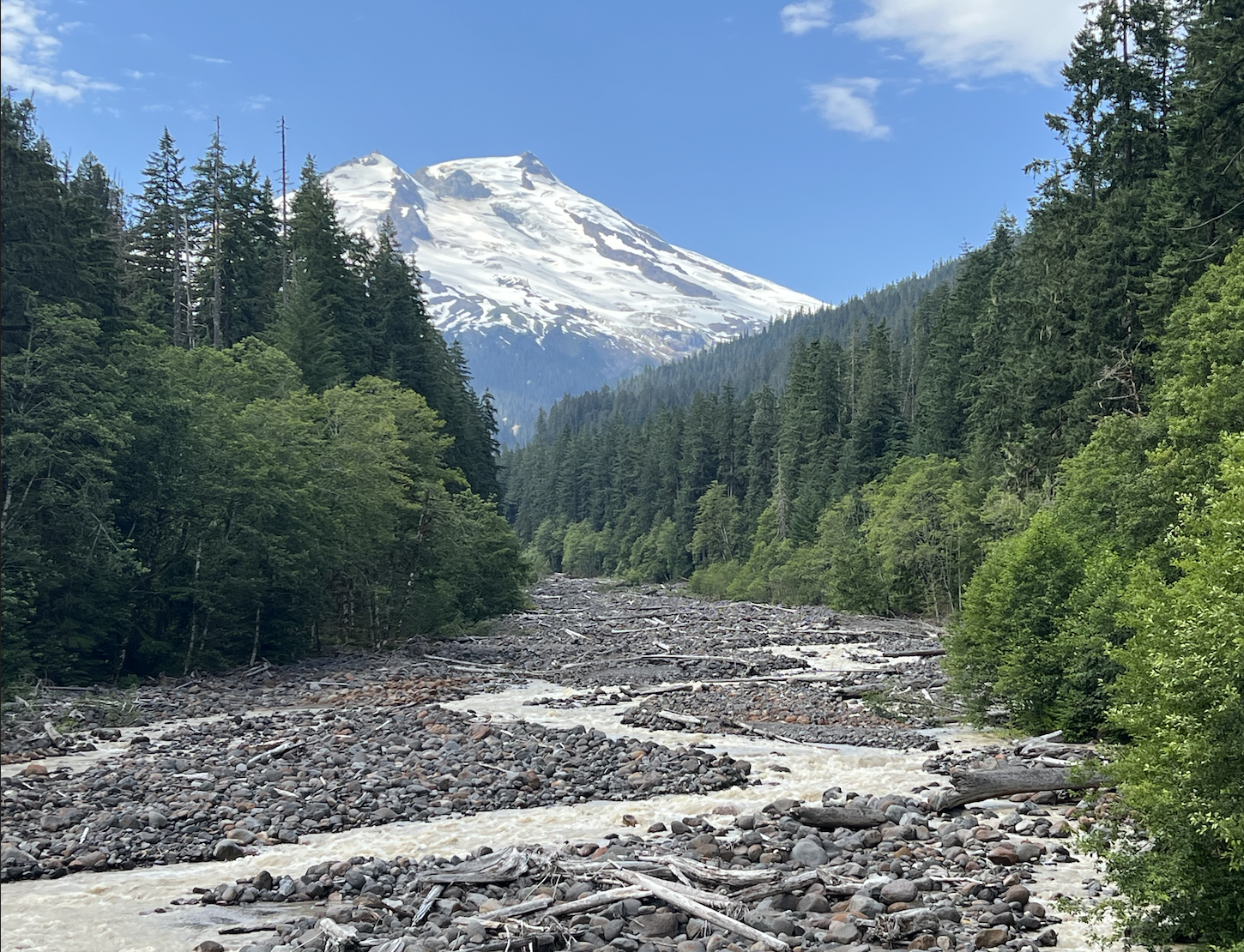
Continue along a few more scenic lumps to Boulder Creek Campground and descend down the hill to Panorama Point Campground to the Information Control. You will see an information sign with a green PAY HERE box in front of it. The pre-riders checked out the view of Baker Lake and mountains from the boat ramp. (Photo at top of page)
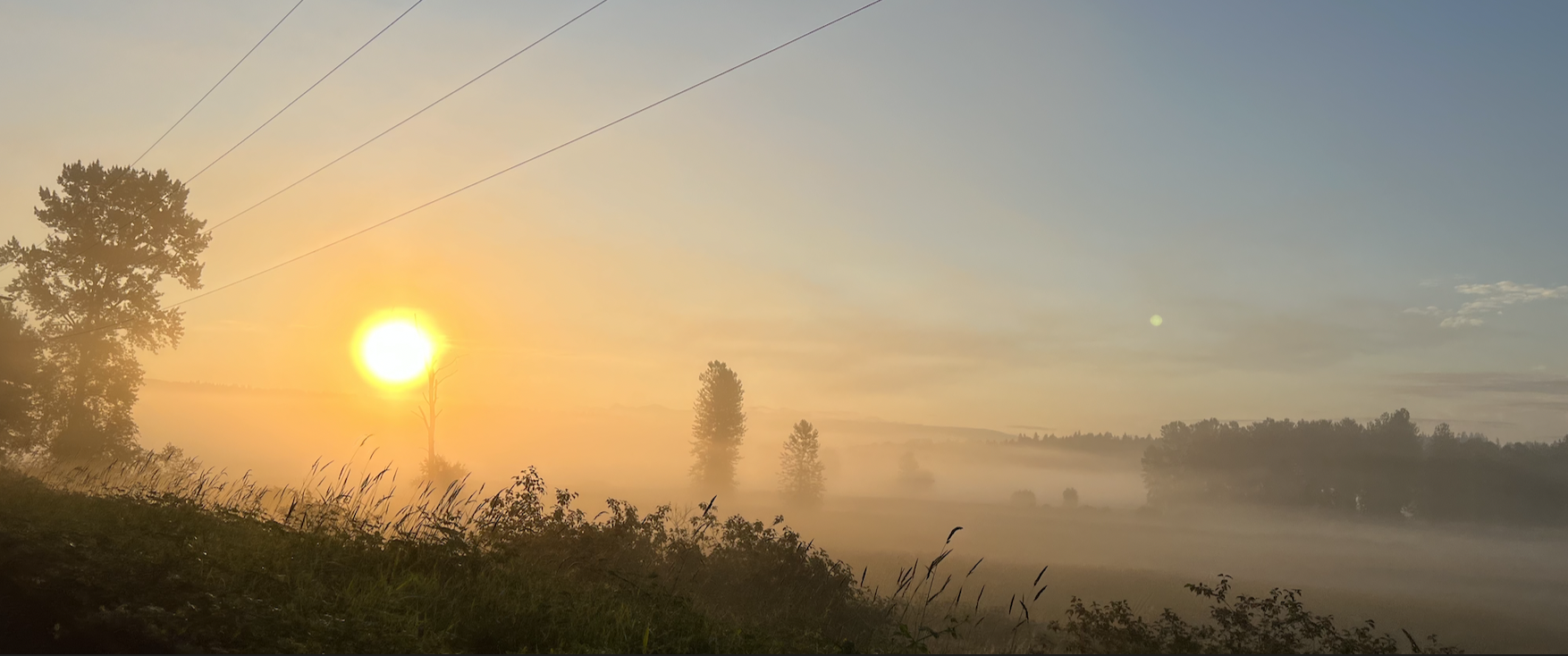
Now a different adventure begins. For most riders, it will be late afternoon or early evening (it shouldn't be dark yet). Sunset is around 9:00 PM this time of year. You’re in a remote area 174.7 km from the finish. You can feel the effort in your legs and now must steel yourself for the night shift. These are the moments that separate randonneuring from other cycling activities, embrace the challenge – you can do this.
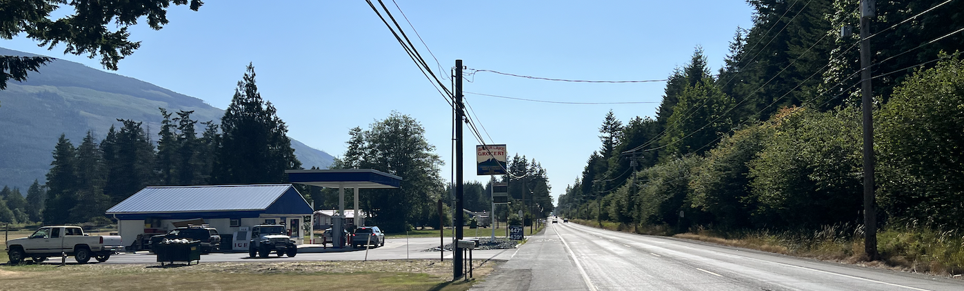
The downhill plunge from Baker Lake to Highway 20 will certainly be a nice pay-off for the climb up Burpee
Hill and sets you on your way home. Once on Highway 20, Baker Lake Grocery will be on the left (open until 10 PM) if you need something. The pre-riders had to refuel here since we were fully self-supported. The route follows the slight downhill and flat terrain of the Skagit River. You'll take side-roads and parts of the Cascade Trail (gravel) away from Highway 20 traffic to Sedro-Woolley.
As you enter Sedro-Woolley, there are mutliple service options. But only one 24-hour option, the Arco AM PM at 830 Moore Street which is off-route to the north - take Township Steet to the intersection of Highway 9 and Highway 20. On-route, find the information control at Pioneer Marketplace (closes at 10 PM) at 295.8 km. Next food/water is the 7-11 store (open 24-hours) in Arlington at 328 km so plan accordingly.
Heading south out of Sedro-Woolley on Hwy 9 is the most direct way home but watch for some tight
shoulders and evening traffic. You’ll turn off Hwy 9 at W Big Lake Blvd for a nice respite on a quiet
section. Back on Hwy 9 you’ll roll through the familiar community of Lake McMurray and get to the
Centennial Trail head at 327 km. Mind the gate will be closed at night entering the parking lot (don’t crash into
it). Hopefully the familiar surroundings and safe trail will help motivate you – food and coffee in
Arlington awaits. The fully self-supported pre-riders stopped at the 24-hour 7-11 store. Here's a secret, this 7-11 has a restroom for customers. Arlington bathrooms on the trail were closed at night.
The final information control on the road is the Snohomish Bakery and First and Union at 376.4 km. There
is a 7-11 store open 24-hours slightly off route in Snohomish at 1215 2nd St, Snohomish, WA – if you
need anything here.
The route takes you home on our conventional roads of Airport Way, up Springhetti Rd, then Broadway
Ave to Maltby (mind the bad tracks as the road turns left near Yew Way). Follow a few familiar roads
(Paradise Lake Road, Mink Road, Avondale Road, etc), roll into the Redmond Inn parking lot and check in
at the finish control.
Other Notes
Cell phone service at the Baker Lake info control is limited/spotty/nonexistent depending on carrier.
As always, bike checks for lights and proper reflective safety gear is mandatory. Please bring redundant light systems (dyno & battery backup or dual battery systems), we’ll be checking both. Someone on Spring 300 had a non-functional taillight and no backup, don’t let this be you. If it's wet and you don’t have fenders and/or proper ‘buddy flaps’, please be considerate of others and ride in the back of groups or ride solo so we don’t consume the road wash from your tires.
Route and Cuesheet
https://ridewithgps.com/routes/38942123
[FINAL]
Note:
Printed cuesheets will not be available at the start. You may choose to print your own. To print the cuesheet from the
route page, click the
More button, then select
Print Cuesheet.
General Rules
- All riders are required to have read and signed a waiver (part of the online event registration) before beginning the ride.
- All riders must comply with local traffic laws as well as RUSA's Rules for Riders.
- All riders must have front and rear lights, a reflective vest or sash, and reflective ankle bands. See RUSA Article 10 for details. Be prepared to show these to the ride organizer at the start. Lights should be on during any low-light conditions (rain, fog, night, tunnels, etc).
- All riders who cannot finish a ride (DNF) must contact the organizer ASAP using the phone number on the brevet control card.
- All riders must turn in their signed brevet control card at the ride finish.
- All riders must check-in with the organizer or a volunteer at the start, the finish, at any overnight controls.